Colorado

Maroon Bells, near Aspen, Colorado

Before visiting Colorado, I had never heard of Maroon Bells, although any Google search will announce that it is apparently  the most photographed mountain range in North America. I’m not sure what I was expecting when I went, but I was extremely surprised and suitably awed.

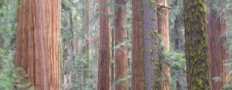
Fall foliage on the drive up to Aspen

Located 10 miles Southwest of Aspen, CO, Maroon Bells is a perfect day trip from either Aspen, Vail or the Boulder/Denver area.  There is a $10 charge to enter the park, which is well worth the lasting memories the views within will provide.  The drive up from the entrance gate is scenic, but provides little foreshadowing for what is to come.  There is a parking lot at the end with primitive bathrooms and a set of placards designated for providing information about the area.   But, who cares? I wanted to see the gems.

The “gems” are the Maroon Bells: two 14,000+ peaks, Maroon Peak and North Maroon Peak.  They are beautiful, in and of themselves, but what makes them spectacular is viewing them mirrored in Maroon Lake.  The view commands so much respect that even though there were probably two dozen people there the day I went, I was able to sit and enjoy the view in relative silence.

Fast-forward Workout:

There are a number of hiking trails in the area, but I think that the Maroon Bells can best be appreciated by following the path that leads around the lake.  It is a pleasant stroll that allows views of the glacial valley.  The area is so serene that it would have felt inappropriate to attempt any sort of strenuous workout; I was content with meandering around the lake.

The Maroon Bells

Bonus

On the drive up to Aspen from the Boulder/Denver area, take the scenic route through Leadville and Twin Lakes.  Leadville, at elevation 10,152 is the second highest incorporated city in the US, and is home to the Leadville 100: a 100-mile mountain bike and running race, which is epic both for its distance and altitude!  Twin Lakes, population 171 in 2010, is essentially a one-stop-sign town that would be easy to breeze through, if it weren’t for the breathtaking view from its “downtown.”

View from the town of Twin Lakes

Categories: "Don't miss" Places, Colorado, Hikes | Leave a comment

Great Sand Dunes National Park, southern Colorado

San Juan Valley

Located in the middle of absolutely nowhere, Colorado, is an incongruous geographical feature: a small pocket of sand dunes, nestled against the Sangre de Cristo mountains, on the edge of the vast San Juan Valley.  Don’t quiz me on the details, but these sand dunes were formed something like this:  shifting plates caused the Sangre de Cristo Mountains, the San Juan Mountains… and the San Juan Valley in between.  Water from the mountain streams flowed down to form lakes in the valley.  Due to climate change, over time, the water receded and the lakes dried up, leaving behind sand and sediment.  Prevailing southwest winds blew the sand across the valley floor and up against a curve in the Sangre de Cristo mountains, where it built up into dunes.  During storms, opposing winds blow the sand back up against itself, building the dunes even higher, making them, in fact, the highest dunes in North America (now how is THAT for a claim to fame?!).

To me, the dunes looked kind of like whipped egg whites, plopped down against the rim of the flat, empty valley.

The start of the Trail. Continue straight for Mosca Pass Trail, or turn left for Dunes Overlook/Sand Ramp Trail

Fast-forward workout: Wellington Ditch Trail/Dunes Overlook/Sand Ramp Trail,

Start at the parking lot for the Mosca Pass Trail. The Wellington Ditch trail shoots over to the campground, and from there, it’s 2 miles, round trip, to the Dunes Overlook, but the hike can be extended, as the Sand Ramp Trail continues for 11 miles.  I only had about two hours, so chose to run part of the trail and then round out my park experience with a quick trip to the dunes.

Dunes Overlook/Sand Ramp Trail

The Wellington Ditch hike starts in the shade and then runs along the base of the mountains. You get a little bit of everything on the hike: golden cottonwood and aspen trees (how can you go to Colorado and avoid seeing an aspen?), gnarly Rocky Mountain juniper and Pinyon trees, and scraggly prairie grass.  And, of course, all along the path, you get to look out on the dunes.  There are plenty of photo-ops, and if you’re running solo like I was, there are plenty of tree stumps on which to put your camera in order to snap some self-portraits.

The jog is an easy one.  The path is well-marked and fairly flat and there are sections of shade, which offer a respite from the heat.  Once the path hits the campground, continue onto the official Overlook/Sand Ramp via Loop 2 of the campground.

Dunes Overlook/Sand Ramp Trail

Tips:  I’d suggest going in the fall, when the trees are a brilliant yellow and the temperatures are mild.  Also, the park is at altitude, so be prepared for light-headedness. The visitor center and campground (through which the trail passes) are at approximately 8,200 feet above sea level.  Drink plenty of water, and stop at the benches along the trail to catch your breath.

Bonus:  After enjoying the dunes from a distance, head down to the Dunes parking lot.  The sand starts only feet from the parking lot.  The dunes are 100% open for wandering, but you can get a feel for it just by hiking up the first dune you reach.  I ran around in the sand until my calves ached, watched some kids sledding down the slopes, snapped a few self-portraits and headed out.

The Dunes, as accessed from the Dunes Parking Lot

Categories: "Don't miss" Places, Colorado, Hikes, National Parks | Leave a comment

Blog at WordPress.com.