
San Juan Valley
Located in the middle of absolutely nowhere, Colorado, is an incongruous geographical feature: a small pocket of sand dunes, nestled against the Sangre de Cristo mountains, on the edge of the vast San Juan Valley. Don’t quiz me on the details, but these sand dunes were formed something like this: shifting plates caused the Sangre de Cristo Mountains, the San Juan Mountains… and the San Juan Valley in between. Water from the mountain streams flowed down to form lakes in the valley. Due to climate change, over time, the water receded and the lakes dried up, leaving behind sand and sediment. Prevailing southwest winds blew the sand across the valley floor and up against a curve in the Sangre de Cristo mountains, where it built up into dunes. During storms, opposing winds blow the sand back up against itself, building the dunes even higher, making them, in fact, the highest dunes in North America (now how is THAT for a claim to fame?!).
To me, the dunes looked kind of like whipped egg whites, plopped down against the rim of the flat, empty valley.

The start of the Trail. Continue straight for Mosca Pass Trail, or turn left for Dunes Overlook/Sand Ramp Trail
Fast-forward workout: Wellington Ditch Trail/Dunes Overlook/Sand Ramp Trail,
Start at the parking lot for the Mosca Pass Trail. The Wellington Ditch trail shoots over to the campground, and from there, it’s 2 miles, round trip, to the Dunes Overlook, but the hike can be extended, as the Sand Ramp Trail continues for 11 miles. I only had about two hours, so chose to run part of the trail and then round out my park experience with a quick trip to the dunes.

Dunes Overlook/Sand Ramp Trail
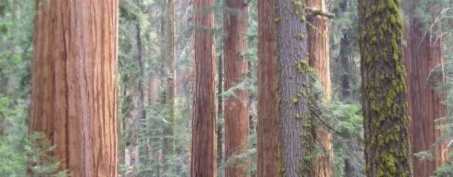
The Wellington Ditch hike starts in the shade and then runs along the base of the mountains. You get a little bit of everything on the hike: golden cottonwood and aspen trees (how can you go to Colorado and avoid seeing an aspen?), gnarly Rocky Mountain juniper and Pinyon trees, and scraggly prairie grass. And, of course, all along the path, you get to look out on the dunes. There are plenty of photo-ops, and if you’re running solo like I was, there are plenty of tree stumps on which to put your camera in order to snap some self-portraits.
The jog is an easy one. The path is well-marked and fairly flat and there are sections of shade, which offer a respite from the heat. Once the path hits the campground, continue onto the official Overlook/Sand Ramp via Loop 2 of the campground.

Dunes Overlook/Sand Ramp Trail
Tips: I’d suggest going in the fall, when the trees are a brilliant yellow and the temperatures are mild. Also, the park is at altitude, so be prepared for light-headedness. The visitor center and campground (through which the trail passes) are at approximately 8,200 feet above sea level. Drink plenty of water, and stop at the benches along the trail to catch your breath.
Bonus: After enjoying the dunes from a distance, head down to the Dunes parking lot. The sand starts only feet from the parking lot. The dunes are 100% open for wandering, but you can get a feel for it just by hiking up the first dune you reach. I ran around in the sand until my calves ached, watched some kids sledding down the slopes, snapped a few self-portraits and headed out.

The Dunes, as accessed from the Dunes Parking Lot
